Skip to content
Skip to navigation
Skip to subnavigation
Skip to search
Skip to content
Skip to navigation
Skip to subnavigation
Skip to search


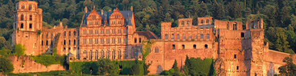


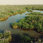
The Weser Marshes Route is a circuit of about 200 kilometres from Nordenham via Brake, Lernwerder, Meerkirchen, Jaderberg, Tossensand and back to Nordenham. It passes through the amazing scenery of the Weser marshland with its peat moors, riverbank scenery and lush green salt marshes populated by flocks of snowy white sheep. It is a region where the sky seems to reach down and touch the ground, solitary farmsteads dot the landscape and ships on the Weser dike canal give the impression of sailing through the fields. Historical windmills dating back to the 18th and 19th centuries give you the chance to discover how the millers of 200 years ago lived and worked. Every now and then, you come across a romantic harbour town with bobbing fishing trawlers, fortified Friesland churches and tranquil little villages of the region's typical thatched houses.
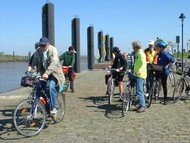
Here along the North Sea coast you are witness to the fascinating spectacle of the ebb and flow of the tides. But what exactly are the sluice gates that are so common in the countryside behind the dike, between the Weser river and Jadebusen Bay? These dike floodgates are used to drain the water from the land into the sea or into river basins. The first sluice gates were built as long ago as the Middle Ages - in those days they were simply hollowed-out tree trunks to which boards were later attached. What do we mean by the ebb and flow? They are the high or low tides. The tide is what you might call a mass movement of the atmosphere, the earth and the sea. When the tide comes in, approximately every 12 and a half hours, the sea level rises, and when it goes out or ebbs, the water flows back out again. Dikes are man-made embankments along the coast to protect the mainland and the people who live there from flooding by the high tide. Lighthouses are fixed marks built on prominent spots on the coast to help ships to navigate.