

The mountains running down the edge of Eastern Bavaria extend around 300 kilometres from the Steinwald Forest to the south-east corner of the Bavarian Forest on the border with Austria. Eastern Bavaria meets Franconia in the west and the north, Upper Bavaria in the south-west, Upper Austria in the south and the Czech Republic in the north-east.
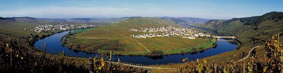
The region has four distinct geographical areas: the Bavarian Forest, the Upper Palatinate Forest, the Bavarian Jura mountains and Lower Bavaria (between the Danube and the Inn). There is also the Bavarian thermal spa region south of the Danube, which includes the resorts Bad Abbach, Bad Birnbach, Bad Füssing, Bad Gögging and Bad Griesbach. The Danube, Europe's second-largest river and once the border of the Roman Empire, passes through the heart of Eastern Bavaria. It is a region of beautifully preserved, historical towns, and it still has the feel of the Mediterranean about it.
Eastern Bavaria has it all: castles and castle ruins dating back to the Middle Ages, Romanesque and Gothic churches and cathedrals, stately homes and abbeys in the florid and flamboyant baroque style. It also boasts the largest forested area in central Europe, stretching out some 6,000kmᅵ between the Danube, the Bohemian Forest and the Austrian border. More than 60 mountains here are over 1,000 metres high.
The Bavarian Forest National Park, Germany's first national park, has special protection status. The Upper Palatinate Forest and the many lakes along the river Naab and its numerous tributaries are ideal for walkers, cyclists, anglers, horse riders and campers. In the north of the Upper Palatinate Forest is the Stiftland, an area of beneficial springs and a thousand ponds. It takes its name from the Waldsassen monastery (Stift), whose traditions and architecture have left their mark on the region.